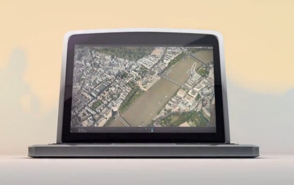
Video: How it’s Made – Nokia Maps 3D
 Here’s another in the series of How it’s made, Nokia stylie (well not really but it seems to be like it). This video explains how Nokia put together the incredible looking Nokia Maps 3D.
It’s a pretty awesome video. Great job Nokia! Car to capture panoramic pictures, it will (I think a different one) capture with lasers the contours of all the surrounding (hence why even trees are so high in detail), then capture areal pictures with a plane, each of which is geotagged by a satellite. You basically have a mesh created with lasers, the photos from above are moulded to that mesh, in perfect position due to the satellite. The street view also relies on those geotagged pics.
With Nokia Maps 3D (http://nokia.ly/snhwAs) it’s almost like being there. You might be wondering how we manged to get such a high level of detail. It certainly isn’t easy, but it’s easy to explain.
Nokia Maps 3D, Because the world isn’t flat. Damn it, use this on TV PLEASE Nokia. You got to show right now whilst you have an advantage your assets.
Category: Nokia


Connect
Connect with us on the following social media platforms.