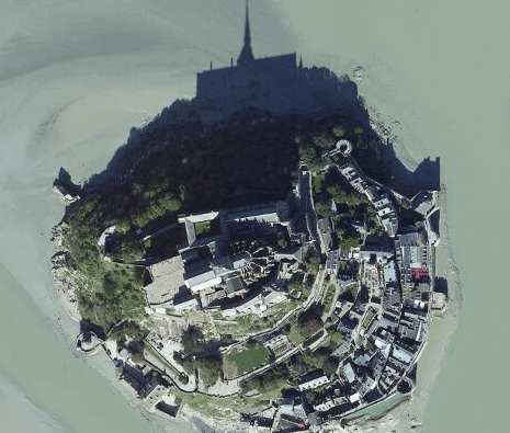
Nokia’s New High Resolution Aerial Maps covering 90% global landmass coming to smartphones too #Satellite

Nokia have announced that they’ve got some updated Aerial overhead maps that covers 90% of global landmass. The key thing is that this is said to be coming to smartphones too (hey Nokia Maps 3D :/).
It’s apparently starting with United States, Western Europe and South Africa, which make up 14 million of km2 of land area.
I think it’s selected by choosing ‘satellite’ view. This was one of my gripes in Here Maps (mobile) the satellite images were very patchy, either they were non-existent or you really couldn’t zoom in to overhead street detail at all.
I’m not quite sure what part of the UK is covered, e.g. Manchester. Not sure if that’s on the same level of detail I’ve come to expect (e.g. gMaps) but good enough to provide that overhead street view.
http://conversations.nokia.com/2013/06/27/14-million-kilometers-of-new-aerial-images/
Category: Nokia


Connect
Connect with us on the following social media platforms.