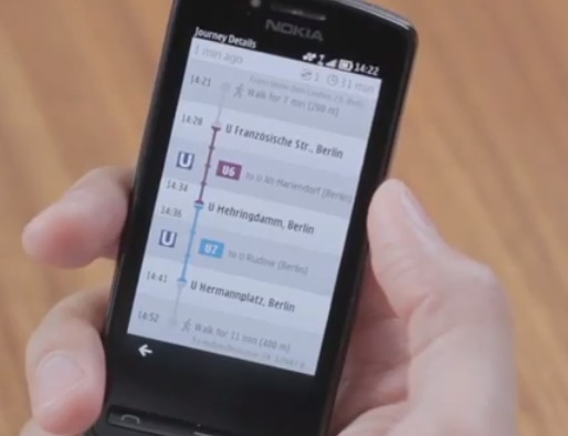
Video: Nokia Public Transport Demo and City Pages for Maps.Nokia.com
A couple of videos just got uploaded to Nokia’s YouTube. Man, all the Nokia locations are churning out one Nokia thing after another, huh?
Anywhoo…the first video. Nokia Public Transport.
From day 1, as well as using Nokia Maps in a car (with BT GPS as N93 didn’t have it built in), it was also useful whenever you had to use a train or a bus (if in a new location) just to see where abouts you are and where you might be heading.
Nokia Public Transport goes even further, arming maps with the ability to also help plan your journeys in public transport.
- Search for nearby stations
- Check out departure times
- See what vehicles are available.
The second video shows that hot spots feature we saw before – where to go in a city, what’s exciting. Also is that a black turtleneck?
Videos  by nokia
Category: Applications, Nokia, Symbian


Connect
Connect with us on the following social media platforms.